The Missouri Breaks
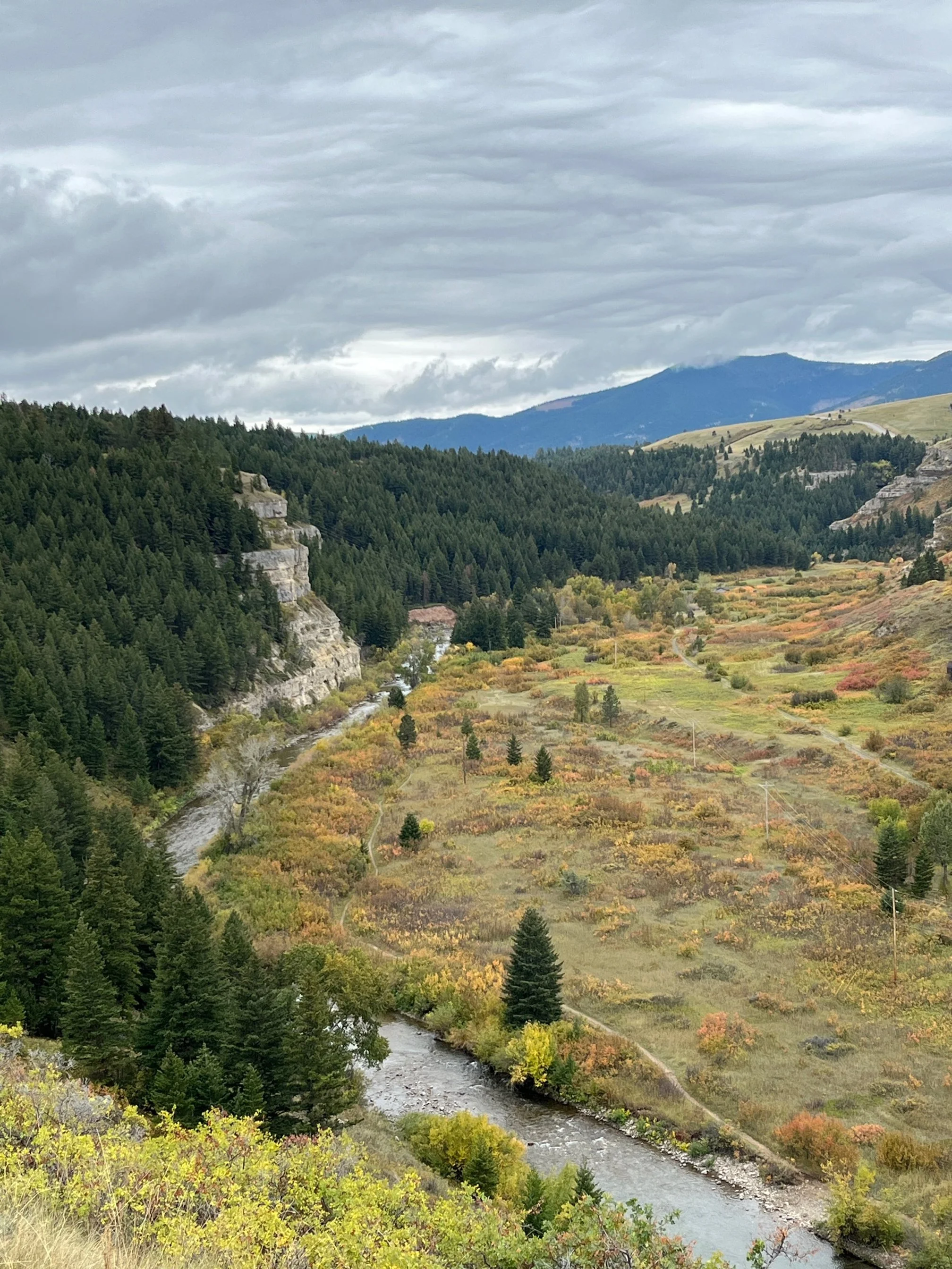
Saturday beckoned us to go. We stopped in at Ghost Town Coffee to replenish ourselves for the trip and headed north. Our route took us up Bridger Canyon with the sun shining on the valley. The Bangtails were next as we wove though the mountains which emptied us into the Sheilds River Valley. Traffic was almost nonexistent, except for the occasional rancher, driving to check whether his stock had water for the day and the calves were okay. Expansive and wide, the Shields Valley is different from the narrow valley canyons you encounter if you travel south of Bozeman. In the middle is the Shields River which runs north to south eventually making its way to the Yellowstone. Or as most people refer to it the Stone. Clyde Park and Wilsall are the occasional towns you encounter before coming to White Sulphur Springs at the top of the valley.
This is black bear country and they have established themselves well here. Not uncommon are bear prints along the river's edge and the occasional sightings. They forage on the many berries plants and roots that run with the river. Vegetation is dense which gives them cover to roam and raise their young in a relatively safe space. The larger Ursus or grizzly bear is now being spotted here, with a confirmed sighting in July. Deliberation and discussion is rampant on whether they are ranging out of the Glacier Park or Greater Yellowstone ecosystems. A land bridge between the two systems would be favorable for genetic diversification. Along with it will be management of the bears as they interface with the human population. Bear and human management at the Rocky Mountain front near Choteau will serve as a template.
Prominent to the east are the Crazy Mountains, which seem to have dropped in from nowhere. They were snow covered at the top and the combination of mountains and valley framed the day. Checkerboard ownership of public and private lands, a remnant of how land was given to railroads as they expanded west, makes the numerous trail systems into the Crazies a complex affair. Constantly crossing over public Forest Service land and private land, one navigates corners that are fenced, forbidden and fought over. Lay over this the sacredness of the range to the Crow Nation (this is where Plenty Coups, future chief of the Crows had his vision of many white buffalo, I.e. European expansion, spreading out over the prairie) and you sometimes have unsolvable land use issues. Moving forward the Forest Service continues to press for consolidating land holdings with trades and purchases.
White Sulphur Springs was a bustle of activity for a Saturday morning as we drove through. If you go left from White Sulphur, you can find your way to the Smith River put-in at Camp Baker. By permit only you can float 3-4 days through Smith Canyon and its spectacular beauty. Some say it is the trip of a lifetime.
We turned right headed towards Fort Benton through the Belts. Route 89 runs its way up through Niehart and Monarch bordered by the Big Belts and then Little Belts. While smaller than the Crazy Mountains, the Belts back drop our drive north with Lodgepole Pine and Doug Fir forests. A pause is taken as we stop at Sluice Boxes overlook and reminisce about the times spent hiking the trail to fish and explore remnants of mining camps.
Honoring the mountain range by its name we drive through Belt, which is one of the more populated towns in the area. Again, topography changes as you go north and we encounter the high plains. This is farming country with swaths of barley growing for destinations such as Anheuser-Busch and Miller-Coors. Unexpected fall rains have turned the landscape green from its typical golden brown. Farms are quiet this time of year with barley and wheat cut and stored for transport to the processing markets.
Montana has a way of naming things – short and to the point. The Belts, one-word rivers and reminders of the past – Sluice Boxes State Park. Truncated naming originates from those living here. Ranchers and farmers here have a dialect of their own. Sentences are short and to the point. Yes and no are the simplest of sentences and used often. Yet people here would be the ones to stop when you are broken down on the road, make sure you are okay and lend a hand. They trust you and you trust them. It may come from harsh winters that roll across the plains or the constant struggle of farming and weather. The commonality of eking out a living may frame their straightforward look at life. When they do converse on the front steps of churches or gather around trucks, hands tuck in front pockets of jeans and hats point opposite from the prevailing winds. They are truly of the land and entwined with it.
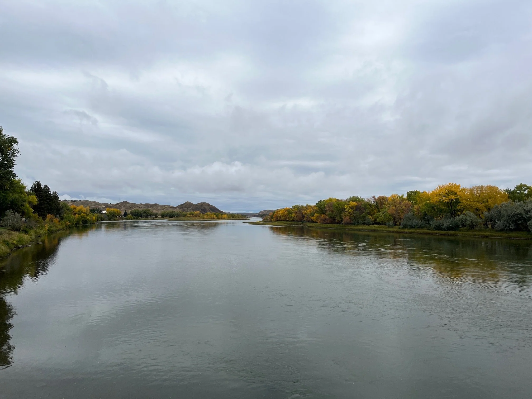
We pull into Fort Benton and it's raining as forecasted Magnificent on its own, the Grand Union hotel rises along the Missouri River. Painstakingly restored and historically significant, it has always been a welcome sight to travelers. Plying up the Missouri on steamboats, the sighting of the Grand Union must have given comfort yet stirred adventure as the jumping off place for the Montana territory. Standing on the banks, one is mesmerized by the downstream flow of the Missouri. Prevalent and abnormal rains have raised the river above its normal fall flow.
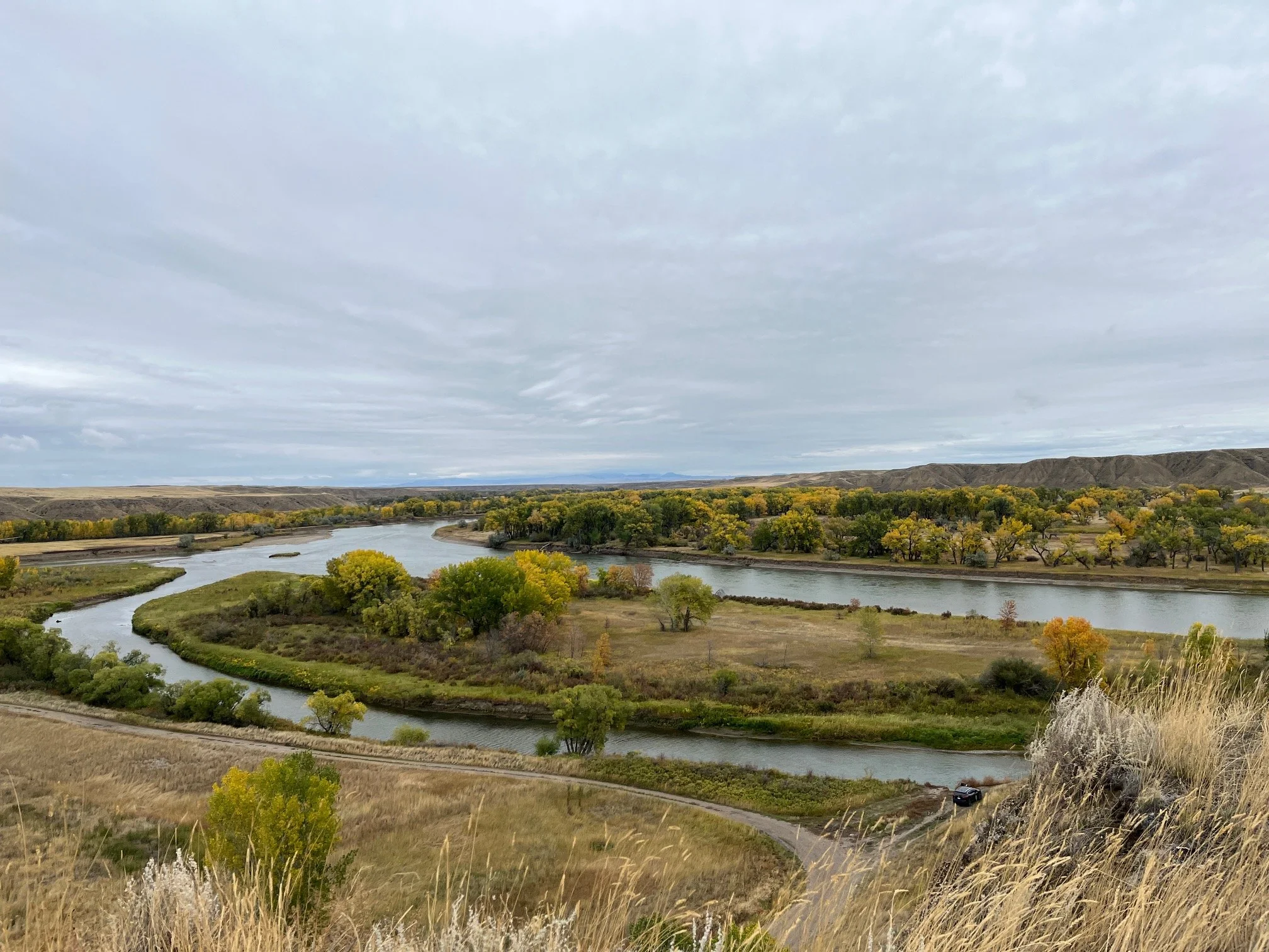
Fort Benton is the jumping off point to explore the Missouri Breaks. The Breaks, as they are commonly known, encompasses just under 600 square miles extending from Big Sandy to the Charlie Russell National Wildlife area on the east. Best viewed from the river, the cliff-type badlands of the Breaks are truly unique. Coal Banks is where we start, and the white cliffs are still impressive on a rainy day. Getting ready at the put-in are a group of canoeists. They are dressed for the day, heavily bundled up for the rain and 50 degrees.
Getting to Coal Banks was an experience. Rain turns the normally dry dusty roads to gumbo that sticks everywhere on the truck. It also becomes slippery and fishtailing, spinouts and ending up in the ditch are the experience. We avoided the ditch. Yet months later dry cracked gumbo mud is still falling from the bottom of the truck.
Decision Point is where the Marias and Missouri River join near current day Loma, Montana. The bluff overlooking the river is impressive and marks the spot where the Lewis and Clark Expedition camped. Separate scouting parties explored both rivers and rendezvoused to make a decision on which river to follow. Clear and with more current the channel on the right was picked over the muddy current flowing from the left river. Correct in their choice the Expedition encountered the Great Falls of the Missouri River the next day.
We now head southeast towards Lewistown for the evening. Continuance of high prairie farmland travels with us during the calm of Saturday afternoon. Rain is still prevalent, and the horizon continues to green-up with each drop that falls. We encounter more forested land as we approach Lewistown and find a motel, one of the best rated in the area.
The town is coming of age, as new restaurants and micro-breweries pop up on main street. There is a vibe here that is different from past travels that perhaps portends the significant population increase occurring in the area. Perhaps those seeking quieter spaces are coming this way to avoid the high prices and high rents of Livingston. Or perhaps people are pushing out of Billings looking for more open space. Convenience prevails as Billings is only 2 hours away and Bozeman is 2 ½ hours. Short drives by Montana standards.
Our evening is restful until about 2 am when hard pounding is heard at our door. Gaining coherent thoughts, we begin to understand the bars have closed and members of a drinking party are locked out of their rooms. Talk and pounding continues on motel doors as they try to awaken a friend who has not yet arrived at the room. For 20 minutes the escapade ensues until the one with a key arrives. Quiet resumes for all and nighttime continues. Our consolation from the next morning is finding a $20 dollar bill on the curb – whether from the late nigh revelers or from others is unknown.
Back to Bozeman today, we detour to the Yellowstone River south of Livingston to fish. Our curiosity about how it will fish resides in the historical flooding that occurred last summer. The river was scoured, and fishing did not really take place until late August, early September in 2022. A year has passed, and we have to see for ourselves.
The Yellowstone River
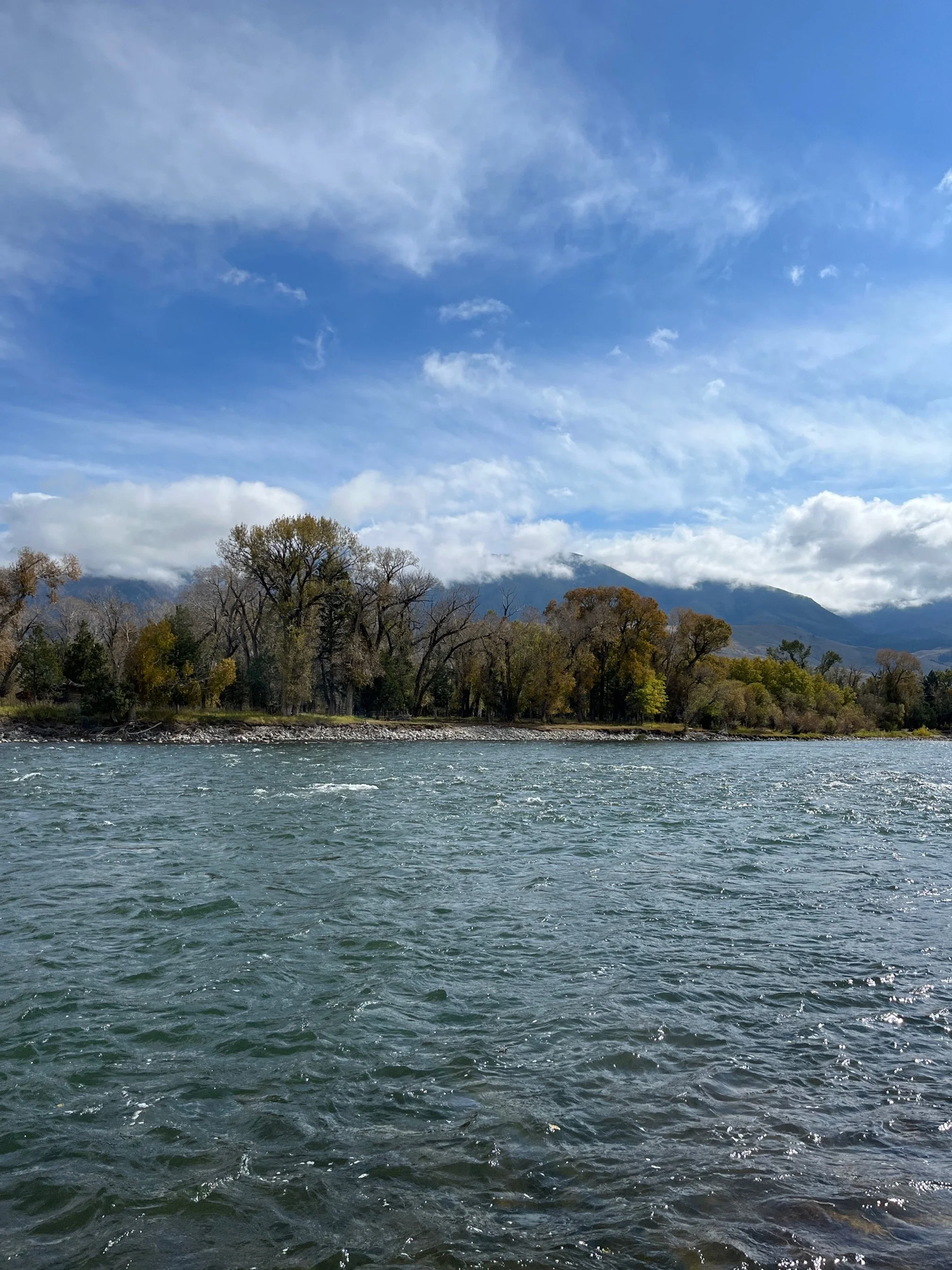
Arriving, water flows are normal for this time of year. The Stone looks like it always does in September – flowing graciously out of the Park as it weaves its way through the valley intermingling with gravel bars as it flows north. We fish from the gravel bars near Pine Creek Bridge and have success bringing in a few 12-inch rainbow trout. While not big fish, they are fun to catch, and we are affirmed knowing the river is returning to normal. Anxious to try another spot we head downstream to Emigrant to fish another gravel bar that has always been one of our favorites.
Slightly different, our famailiar gravel bar is straighter than we remember. However, our time is cut short by the thick blue clouds pushing north and carrying with it lightning. While rumbling in the distance at first it grows in intensity, and we run for the truck. Carrying a graphite fly rod on a wide-open riverbank with lightning in the air is not wise. We make it back both huffing and puffing and the rain drenches the truck as we start it up. In front of us on the horizon is appropriately named Electric Peak, part of the Gallatin Range.


