Back to the Bitterroots
Formed by experiences in the Bitterroot Valley we head west on I-90 to fish the West Fork.
Painted Rocks Reservoir provides the clear water that flows down the West Fork of the Bitterroot River before it joins the big river in Conner. Flows are steady and so are temperatures, which is typically good for trout. Cutthroats predominate the river along with rainbow and the occasional brown trout. Unique to the river are bull trout. Never having seen one nor fished for one they are at the pinnacle of trout hierarchy, federally protected and must be released immediately. They eat smaller cutthroats and rainbows, which would be interesting to see – and which we have never seen.
We detour in Butte with a few hours of layover to have a temperature gauge diagnosed on the SUV. It afforded us the opportunity to get lunch and play a little Keno in the nearby bar. Our winnings just about covered the cost of repair and after paying the bill we were on our way towards Missoula.
You can access the lower end of the Bitterroot Valley by either going to Missoula and then dropping south through Stevensville, Hamilton and then Darby or you can travel your way through the Big Hole. Preference is always given to the Big Hole, which affords you the opportunity to drive along the river, pass through Wisdom and then up on to the Big Hole Plateau. Vast expanses of land move out in front of you, with the occasional ranch seen in the distance. Beautiful, yet sparse and simple are the words that come to mind to describe the Big Hole.
This year was different. No appreciable amount of rain had fallen since April and combined with a low snowpack and hot temperatures we were forced to Missoula. The Forest Service had closed the roads through the Big Hole to fight numerous fires on the plateau.
Darby is at the end of the Bitterroot Valley and the last town before you head to Idaho. In recent years the filming of Yellowstone at the nearby Chief Joseph Ranch has turned the town into a bustling center of activity. Yet once filming ends the town returns to its uniqueness. To escape the crush of activity we head to Conner and up the West Fork of the Bitterroot. A rental cabin we found a few years ago welcomes us and is our base for fishing and hiking over the next few days.
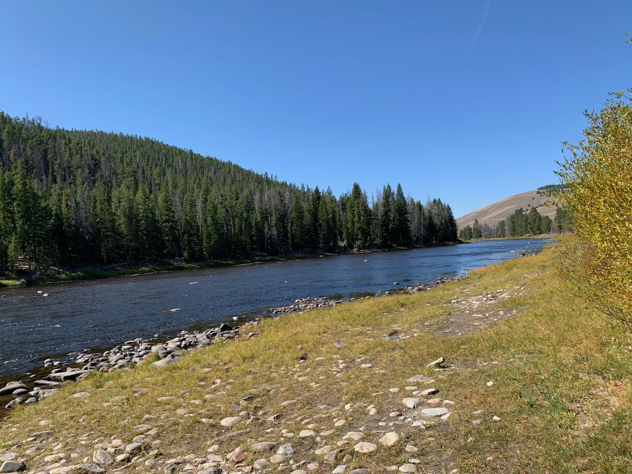
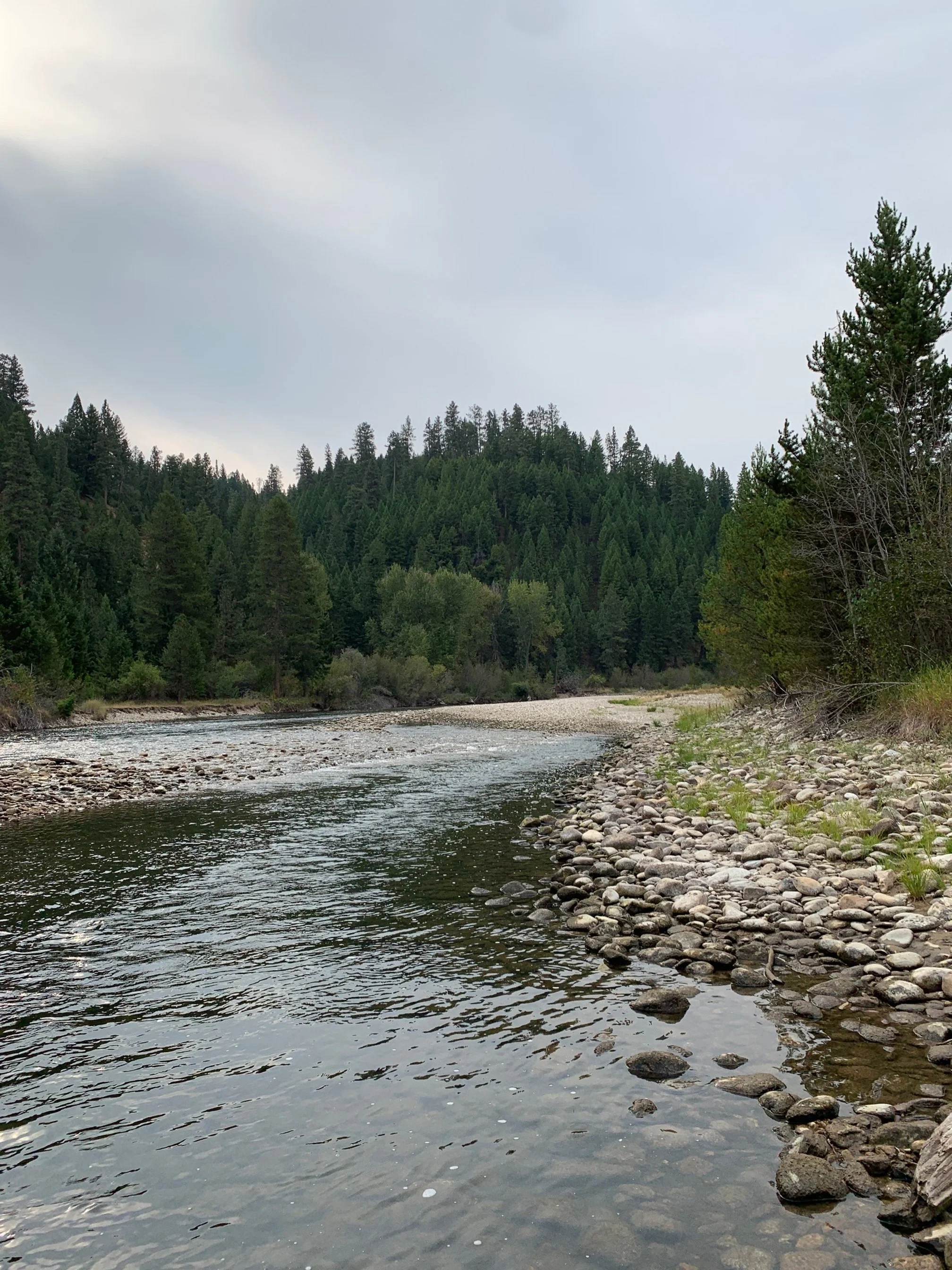
The river is across the road and a short hike across forest service land brings us to its edge. It is unchanged from our last visit a year ago. The water is running clear and the course it takes as it comes down the valley is unchanged. Familiar gravel bars and tree snags are still in place and have not been disturbed. Within the bars and snags are holes that hold trout. This time of year, they hold deeper due to the daytime summer temperatures. Evening brings them to the top to feed as the water surface cools. The air is different. Smoke from large fires to the west of us in Idaho smog the valley with its haze and acrid smell. Prior years of living through smoke season lets us gauge this current fire season is about average. We have seen worse, and we have seen better. Fortunately, the larger fires are to the east of us filling the air in Butte and Bozeman with significant amounts of smoke haze.
We tolerate having our waders on during the afternoon as it allows us to access some of the deeper bends of the river. Yet, we swelter in them. Fishing in the late afternoon is a weak attempt to catch fish. The water is still warm from the day and better results would ensue if we waited until an hour before sunset.
We decide to take a break.
Later in the day the cooler air coming out of the mountains and the change in the sun's aspect tells us our time has come to head back to the water. While not as spectacular as prior years, fish are rising to the top to feed on the evenings hatch. A nice cutthroat is caught colored by the orange red slash that appears under their gill sets. Rainbows also come to the net, and for our efforts we are satisfied with the fish caught, the setting sun over the ridge tops and the cooler air surrounding us as we walk back to the cabin.
We are on the edge of the Selway – Bitterroot Wilderness. Comprised of over 1.3 million acres of undisturbed land, it is the third largest such area in the lower 48. Just to the south of us is the Frank Church – River of No Return area made up of just over 2.3 million acres (about the area of Connecticut). Hiking to the top of a ridge and looking west into the expanse – there is nothing. No roads to be seen, no electric transmission lines, no dams, no homes or towns. The only man-made disturbance to see may be the occasional airliner crossing the sky.
Both areas consume central Idaho with its vastness and beauty. Rivers, such as the Selway, run though it untamed. Wildlife is plentiful. You gain your place by seeing these areas, realizing in the scheme of things you are only a very small part of it. The complexity of the wilderness is also striking. Doug fir hugs the more moisture laden eastern slopes and Ponderosa Pine and Lodgepole cling to the dryer western slopes. Trees and terrain combine to create drainages that first pools of headwaters which become creeks which in turn become rivers. Birds, small mammals such as voles, then foxes and coyotes find their place in the habitat. Elk join their counterparts of the deer genus to roam the vastness that has been laid out before them. Black bears and now the occasional grizzly bear also join the habitat along with bobcat and wolf. The simple relationship of water to plant to animal drives the wilderness.
Fishing continues in the ho-hum pattern we have experienced on prior days. While not spectacular it is consistent, with most fish being caught on nymphs and some occasional good periods of them coming to the top to eat dry flies.
Time ends for us, and we must depart. We learn route 43 has reopened and therefore decide to make our way back through the Big Hole Valley. Packed up, we head south and stop in Sula to get gas. Forest Service fire teams and command are everywhere and have taken over the campground and cabins behind the store. Fire command teams are easy to recognize as they huddle around tables with their laptops analyzing the latest telemetry and then setting strategy on where to fight the fire next. Ground crews are visible relaxing in the shade with their yellow shirts exhibiting a mosaic of soot and dirt. They are waiting for their next assignment along with the trucks and nearby helicopters that will take them there.
From this vantage neither slurry planes or the sound created by their engines are recognized. The latest reports put the fires more to the south of us, we are on the northern side and given the clearance to head down the Big Hole.
Driving east on route 43 the landscape becomes surreal. We move within seconds of green to black and smoldering forests. Such is the nature of fire. Terrain, winds and moisture determine its path along with the human interface activities such as grub lines, backfires and red fire-retardant slurry. Some areas have been hit hard with trees and their upper crowns completely burned. In other areas fire has played its restorative role as part of the system. Thick scaled tree trunks are burned along with the fuels on the forest floor, but crowns are still alive. The serotinous cones of Lodge Pole Pines have opened, which activated by the fires heat allows them to drop their protected seeds to rejuvenate the forest floor.
The human interface of cabins and homes seem to be okay. We don’t see any lost structures, just reminders of the prior day's activities of large red plastic pools temporarily filled with water just in case. They continue their lonely vigil alongside the gravel drives leading up to homes. Skies are clear with the occasional smoke haze hanging in some of the nearby canyons. The air to the west on the horizon is different – full of smoke as it originates from the current fires making its way east.
Drought has reshaped the appearance of the Big Hole River. Typically, at the upper end of the plateau the river is shallow in depth and gains volume and depth as it makes its way down. Viewing the river now is depressing. One can best describe it as a long sinuous mud flat. Where there is usually water, this time of the summer, it is almost non-existent. What water is entering the river is keeping the mud wet but not doing much else.
Flow picks up as we keep heading down the plateau and enter the Big Hole Valley. Fisherman are gone, warned off by the restrictions form Montana Fish, Wildlife and Parks. Future management of the river will become contentious. Preservation of the watershed and water rights will clash, yet a solution will need to be found so both uses can coexist. This challenge is not unique to this area and abounds in the west. Limited water and expanding population is a forefront issue for all the western states. Yet in the west it always has been and will continue to be – an ongoing fight over the precious commodity of water.


